MCP Insights

Subscribe to Newsletter

NG911 Strategic Plans Only Are Effective If They Can Be Operationalized Effectively

Many organizations have short- and long-term strategic plans.

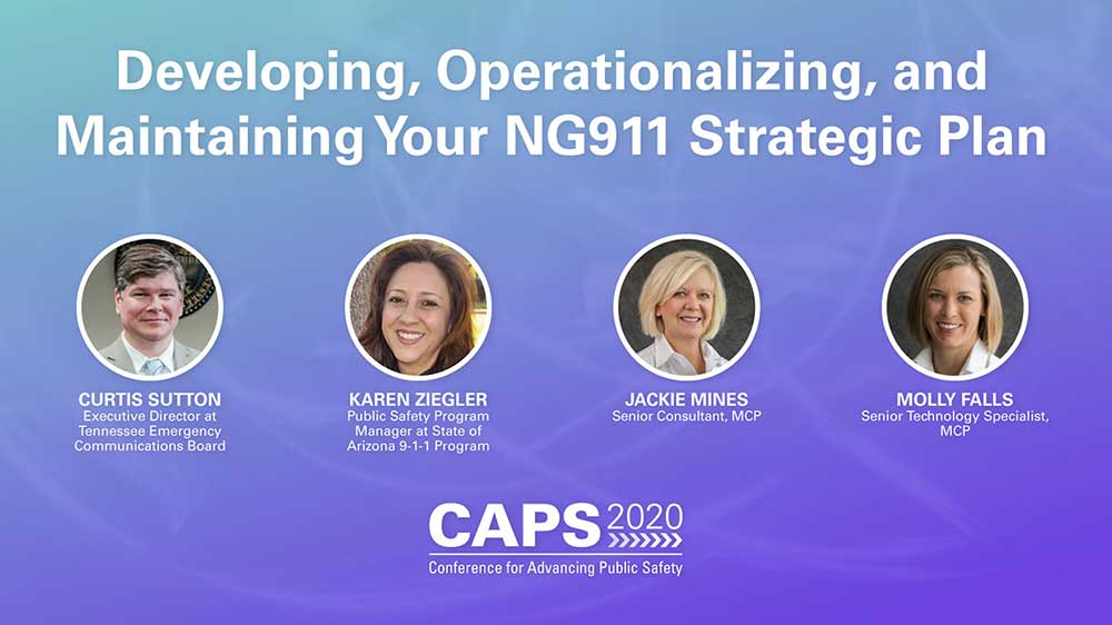
Successful organizations have strategic plans that can be operationalized effectively. In June, during our inaugural Conference for Advancing Public Safety (CAPS), Curtis Sutton, executive director of the Tennessee Emergency Communications Board, and Karen Ziegler, public safety program manager, Arizona 911 Program, joined MCP subject-matter experts Jackie Mines and Molly Falls, in a panel discussion that was focused in part on best practices for operationalizing Next Generation 911 (NG911) strategic plans. You can watch the session in its entirety here.

An Effective Network Operations Center Does More Than Provide Alerts

A while back, one of Mission Critical Partners' (MCP's) long-standing clients, the Lower Rio Grande Valley Development Council (LRGVDC) in Texas, was growing increasingly frustrated with its third-party network operations center (NOC). It always is good for an emergency-response organization to enlist the services of a NOC to ensure the reliability of its mission-critical communications networks and systems and to perform network troubleshooting. But in this case, the NOC’s performance was insufficient, according to Hector Chapa, program supervisor II, who oversees the council’s communications systems and emergency communications center (ECC) ECC operations.

With GIS Centerlines, the Devil Often is in the Details

Public safety agencies draw polygons using their geographic information systems (GIS) that define their jurisdictional footprints and the areas in which they provision emergency services. When such polygons abut, generally along jurisdictional borders, they must “snap” to each other; another way of expressing that is to say that the polygon borders must be coincident. If they are not, overlaps and/or gaps can occur—both are problematic from an emergency response perspective. Jurisdictional boundaries most often are in the form of road centerlines, which represent the center of a real-world road.

Cybersecurity Threat Advisory: Windows DNS Servers

As part of our effort to inform our clients about potential and serious cybersecurity issues, MCP provides advisories about vulnerabilities and exploits that could threaten the operations of their mission-critical communications networks. Sign up to receive these advisories in your inbox as soon as they are released.

This week, there is a new critical alert that requires the mission-critical community’s immediate attention.

Why Critical Infrastructure Agencies Should Monitor for Exposed Credentials

The average number of breached data records, including credentials, per U.S.-based company, is an astounding number—28,500.

Panel Discussion Offers Myriad Tips for Battling Public Safety’s Ever-Growing Cybersecurity Menace

The cybersecurity problem that public safety agencies have is very big and it’s not going away—if anything, it’s only going to expand as time passes. That was the consensus of a panel convened for MCP’s inaugural Conference for Advancing Public Safety, which was presented last month.

“The threat’s there—something is going to happen, and we need to be prepared for it,” said Thomas Stutzman, director, Indiana County (Pennsylvania) Emergency Management Agency.

Call-Handling and Dispatch Technology Considerations for ECCs

First responders historically have arrived at an emergency scene armed with only the information that emergency communications center (ECC) telecommunicators extracted while talking with a 911 caller. However, such callers usually are experiencing one of the worst moments of their lives, which makes it extremely difficult, if not impossible, for most to deliver complete, coherent information. As a result, first responders are left to piece together what to expect upon arrival.

Getting GIS Data Ready for NG911 is Laborious and Time Consuming—and Essential

Many emergency communications centers (ECCs) across the United States are migrating toward Next Generation 911 (NG911) systems because their advanced capabilities make them a quantum leap forward from legacy 911 systems. The biggest benefit is that the geospatial data generated by geographic information systems (GIS) is much more accurate than the automatic location identification (ALI) and master street address guide (MSAG) data used in legacy systems.

Because of this, geospatial data will be used in the NG911 environment to locate emergency callers, resulting in fewer misrouted 911 calls, which will save precious time when lives are on the line. Roughly two decades ago, the Federal Communications Commission (FCC) conducted a study of emergency incidents in the Salt Lake City area; extrapolating the data findings, the commission concluded that about 10,000 additional lives could be saved each year for every one-minute reduction in emergency-response time.

Launching the 911 DataPath Project

A lot of data is being collected about 911 service in the United States by a plethora of government entities at all levels. The data collected by everyone—from local and regional authorities to the Federal Communications Commission (FCC)—is used for a variety of reasons:

Public Safety Cybersecurity Threat Advisory: Cisco WebEx Vulnerability

As part of our ongoing effort to keep our clients informed about the latest cybersecurity threats, we issue advisories whenever new threats are detected. If you would like to receive such advisories in the future, update your preferences here

Looking Beyond the Brick and Mortar - Part 2

A previous post examined some of the key technology factors that should be considered as the public safety community mulls how to evolve its communications capabilities going forward. This post explores operations, governance and funding considerations.

Looking Beyond the Brick and Mortar

Profound challenges often spur great progress. The COVID-19 pandemic is no exception. Not only is the public safety community staring an enormous challenge in the face, but also is looking at a tremendous opportunity to move the community forward.

Traditionally, public safety has been slow to adopt new technologies and embrace new strategies. However, the pandemic has forced agencies to do things they likely would not have contemplated before. The collection of new concepts not only will enable public safety to handle the pandemics and mega-disasters of the future, but also will enhance day-to-day operations personnel performance. Public safety is up to the challenge, as long as officials can get comfortable with being uncomfortable for a while.