MCP Insights

Subscribe to Newsletter

Recent Posts

Industry Standards Pertaining to GIS Data in NGCS Need Strengthening — Here’s What to Do in the Meantime

When it comes to technology implementations in the public-safety/justice ecosystem, industry standards are the guiding light. However, when they’re written ambiguously, standards are subject to broad interpretation. As a result, their effectiveness can be compromised, and they sometimes become ineffective.

Busting a Few Myths Regarding GIS Data and NG911 Readiness

Geographic information systems (GIS) have been leveraged to great advantage by public-safety organizations for many years. But in the Next Generation 911 (NG911) environment, emergency callers are located via geospatial routing

Geographic Information Systems Are Great Tools for Public Safety, But Usually Need Refinement

Geographic information systems (GIS) play a vital role in the Next Generation 911 (NG911) environment. Harnessing the location and advanced

Getting GIS Data Ready for NG911 is Laborious and Time Consuming—and Essential

Many emergency communications centers (ECCs) across the United States are migrating toward Next Generation 911 (NG911) systems because their advanced capabilities make them a quantum leap forward from legacy 911 systems. The biggest benefit is that the geospatial data generated by geographic information systems (GIS) is much more accurate than the automatic location identification (ALI) and master street address guide (MSAG) data used in legacy systems.

Because of this, geospatial data will be used in the NG911 environment to locate emergency callers, resulting in fewer misrouted 911 calls, which will save precious time when lives are on the line. Roughly two decades ago, the Federal Communications Commission (FCC) conducted a study of emergency incidents in the Salt Lake City area; extrapolating the data findings, the commission concluded that about 10,000 additional lives could be saved each year for every one-minute reduction in emergency-response time.

How to Keep GIS Institutional Knowledge From Walking Out the Door

Every once in a while, the geographic information system (GIS) professional working for one of our clients retires, which is great for the pro—and equally bad for the client.

GIS has been important in the public safety community for a couple of decades now. The data generated by such systems is leveraged by computer-aided dispatch (CAD) system mapping applications to pinpoint the location of 911 callers on telecommunicator screen displays. In the Next Generation 911 (NG911) environment, to which many emergency communications centers (ECCs) are migrating, GIS-generated geospatial data will replace the legacy automatic location identification (ALI) and master street address guide (MSAG) databases to locate emergency callers. The result will be fewer misdirected 911 calls and timelier dispatching of the appropriate emergency response. When lives are on the line and every second counts, this is a good thing.

Why COOP/DR Plans Need to Consider GIS Data Maintenance

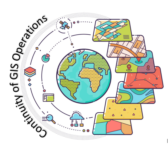
A couple of weeks ago, MCP’s Richard Gaston posted about why it is critically important for every public-safety agency, regardless of size and resources, to have continuity-of-operations plans (COOP) and disaster-recovery (DR) plans in place. This post addresses an element that is lacking in many such plans, a gap that the COVID-19 pandemic has brought into sharp focus—geographic information system (GIS) data maintenance.

For decades, location of 911 callers was determined solely by querying the master street address guide (MSAG) and automatic location identification (ALI) tabular databases. About a quarter century ago, GIS-generated data entered the picture—quite literally—as computer-aided dispatch (GIS) system mapping applications began to leverage it to depict 911-caller locations on the map display on telecommunicators’ screens. In the Next Generation 911 (NG911) environment, GIS data will play an even bigger role, because geospatial data will replace MSAG and ALI data as the primary means of locating 911 callers.