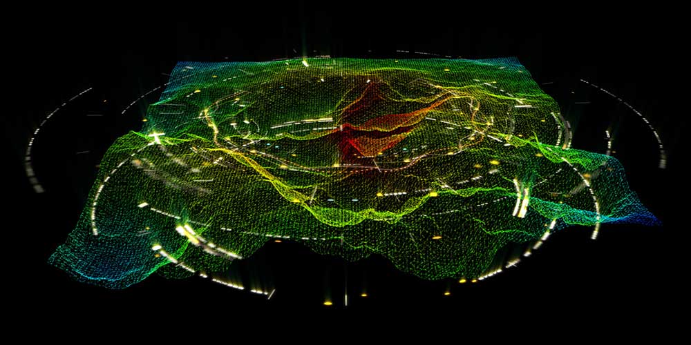
Many emergency communications centers (ECCs) across the United States are migrating toward Next Generation 911 (NG911) systems because their advanced capabilities make them a quantum leap forward from legacy 911 systems. The biggest benefit is that the geospatial data generated by geographic information systems (GIS) is much more accurate than the automatic location identification (ALI) and master street address guide (MSAG) data used in legacy systems.
Because of this, geospatial data will be used in the NG911 environment to locate emergency callers, resulting in fewer misrouted 911 calls, which will save precious time when lives are on the line. Roughly two decades ago, the Federal Communications Commission (FCC) conducted a study of emergency incidents in the Salt Lake City area; extrapolating the data findings, the commission concluded that about 10,000 additional lives could be saved each year for every one-minute reduction in emergency-response time.
But with these benefits come a few challenges. The proverbial “long pole in the tent” concerns getting GIS data ready for use in an NG911 environment. If your agency is in the process of implementing an NG911 system but hasn’t started the data-improvement aspect, then you already are way behind, and your implementation timeline is going to suffer greatly. The result will be an ESInet with no data to put on it. Learn more about the shortcuts to avoid when getting GIS data ready for use in an NG911 environment with our latest whitepaper, "Don’t Take Shortcuts When Developing NG911 GIS Data."
It takes an average of 18 months to validate an agency’s GIS data against its legacy ALI and MSAG data. The National Emergency Number Association (NENA) recommends that these three databases match at a rate of 98 percent before the GIS data is used to locate emergency callers in an NG911 environment. But thousands of errors exist in every GIS database, and data stewards have to find them all and then figure out how to correct them. It takes a lot of time and effort to work through the pile.
The errors usually are pretty simple. For example, a street name might be misspelled, a roadway might be designated as a “lane” when it really is an “avenue,” or the abbreviation “AV” was used when it should have been “AVE.” In such cases, every affected address will show as an error, and the databases won’t match.
But sometimes it is much more complicated. In the 1960s, Washington, D.C.’s Metro rapid-transit system was built. In doing so, an entire neighborhood in Prince George’s County, Maryland, was plowed under. Fast forward six decades, when the county’s data stewards were encountering a slew of errors, but couldn’t figure out why. Finding the root cause took a lot of sleuthing by people who weren’t born when it occurred. It required hours of poring over orthoimages and paper maps from the 1950s—fortunately, the county still had them, otherwise the mystery might never have been solved. What they eventually discovered is that addresses and road names that no longer existed—and hadn’t for decades—still were contained in the ALI database, but didn’t exist in the more current GIS data base. So, no match.
Here are a few other common mistakes that we encounter in our travels:
• Failure to verify the accuracy of data attributes, which are specific bits of information attached to each address that aid in locating emergency callers, e.g., the structure type and ingress point. Most attribution is performed manually by importing data from utility bills and tax records—and humans tend to make mistakes
• Failure to coordinate GIS data matching with neighboring jurisdictions. NG911 represents a new paradigm—a network of interconnected 911 systems. Just because you’ve performed the necessary GIS data maintenance doesn’t mean that your neighbors have. If this activity isn’t well-coordinated, then cross-jurisdictional emergency response will suffer.
NG911-compliant GIS data doesn’t magically appear—achieving it takes a lot of time and effort, and many agencies don’t have the expertise or resources to accomplish it. We are quite adept at this, and would be happy to lend a hand—please reach out.