
A couple of weeks ago, MCP’s Richard Gaston posted about why it is critically important for every public-safety agency, regardless of size and resources, to have continuity-of-operations plans (COOP) and disaster-recovery (DR) plans in place. This post addresses an element that is lacking in many such plans, a gap that the COVID-19 pandemic has brought into sharp focus—geographic information system (GIS) data maintenance.
For decades, location of 911 callers was determined solely by querying the master street address guide (MSAG) and automatic location identification (ALI) tabular databases. About a quarter century ago, GIS-generated data entered the picture—quite literally—as computer-aided dispatch (GIS) system mapping applications began to leverage it to depict 911-caller locations on the map display on telecommunicators’ screens. In the Next Generation 911 (NG911) environment, GIS data will play an even bigger role, because geospatial data will replace MSAG and ALI data as the primary means of locating 911 callers.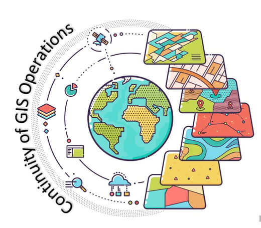
24-Hour GIS Data Updates are Ideal
For GIS data to be effective, it needs to be updated early and often, ideally within 24 hours of the identification of addressing errors. Such errors are uncovered by 911 telecommunicators virtually every day.
GIS data typically is stored in one of three locations. In some jurisdictions, it is housed on a server within the ECC. In others it is housed on a server in the information technology (IT) department. In smaller jurisdictions, it might be housed on a personal computer (PC). Under normal circumstances, accessing the data for maintenance is no problem.
But thanks to the coronavirus, these are anything but normal circumstances. Many jurisdictions, driven by shelter-in-place orders, have many of their personnel working remotely, which makes data access more challenging. Does the jurisdiction have a virtual private network (VPN) in place via which personnel can securely access the server where the GIS data is housed? If so, do the GIS personnel working remotely have the credentials needed to log onto the VPN? If the answer to either of these questions is “no,” then the jurisdiction has a problem.
Things get more challenging in cases where a jurisdiction’s GIS data is housed on a PC. Even if the jurisdiction has a VPN and the GIS staff member has the appropriate credentials it still may be impossible to access the data. That’s because many smaller agencies have turned off the PCs in their brick-and-mortar facility as a way of conserving electricity. In such cases, even with VPN access, the GIS staff member will be unable to log into his/her PC remotely. The reader might ask, isn’t it a simple matter for the staff member to drive over to the facility and turn on the PC? The answer is “yes” until one considers that the staff member likely is going to be reluctant to violate the shelter-in-place order. We know of two clients where this exact scenario has occurred.
The reader also might be thinking that the activities that result in addressing changes, and in turn GIS data maintenance, are not occurring because of the coronavirus-driven economic shutdown, for example, real-estate construction. But the reality is that, based on our experience working with ECCs large and small, that telecommunicators report 20 to 30 location-data errors every week. Those errors delay emergency response and sometimes result in the wrong response being dispatched. When lives are on the line, every second counts and every emergency-response delay or error has the potential to cost lives. Location-data errors need to be resolved promptly—again, ideally within 24 hours—but that cannot happen if the data cannot be accessed.
Our earlier post made the case that every public-safety agency needs an up-to-date COOP/DR plan. In this post we suggest that every COOP/DR plan considers GIS data maintenance and memorializes the steps needed to ensure GIS access and availability when the ECC needs to engage in remote operations. We have helped many agencies over the last 11 years develop effective plans and would welcome the opportunity to help craft yours—please reach out.